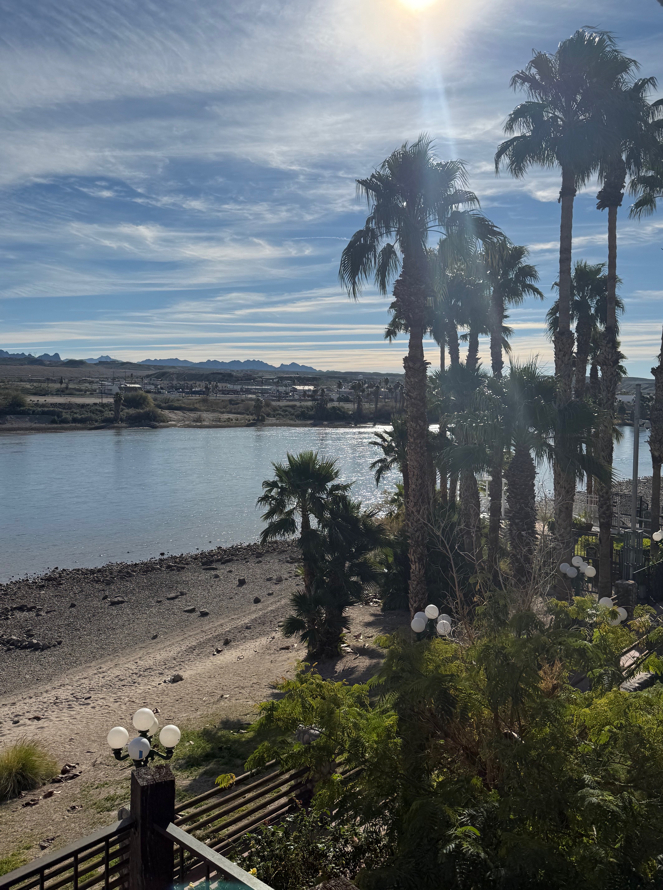
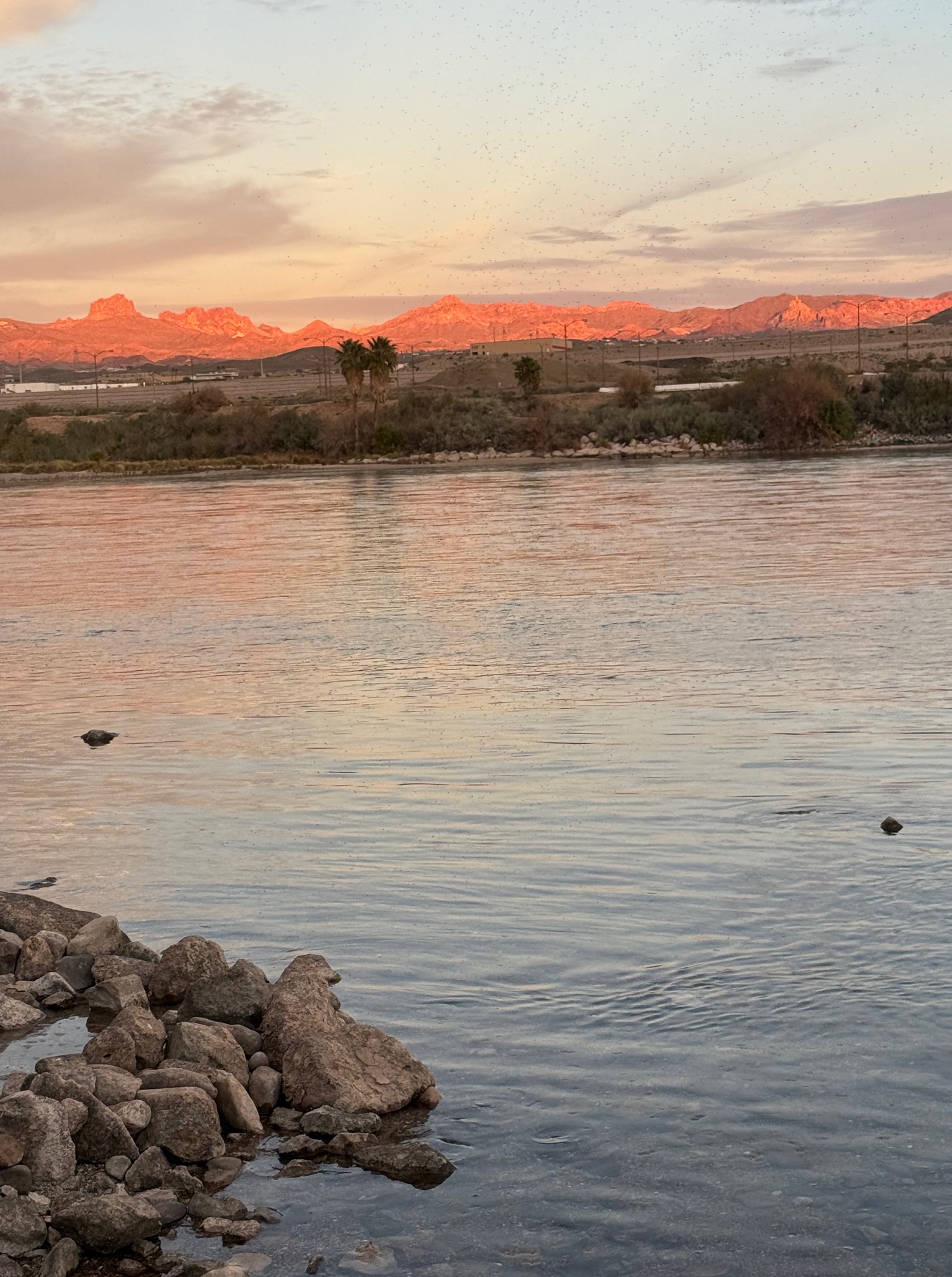
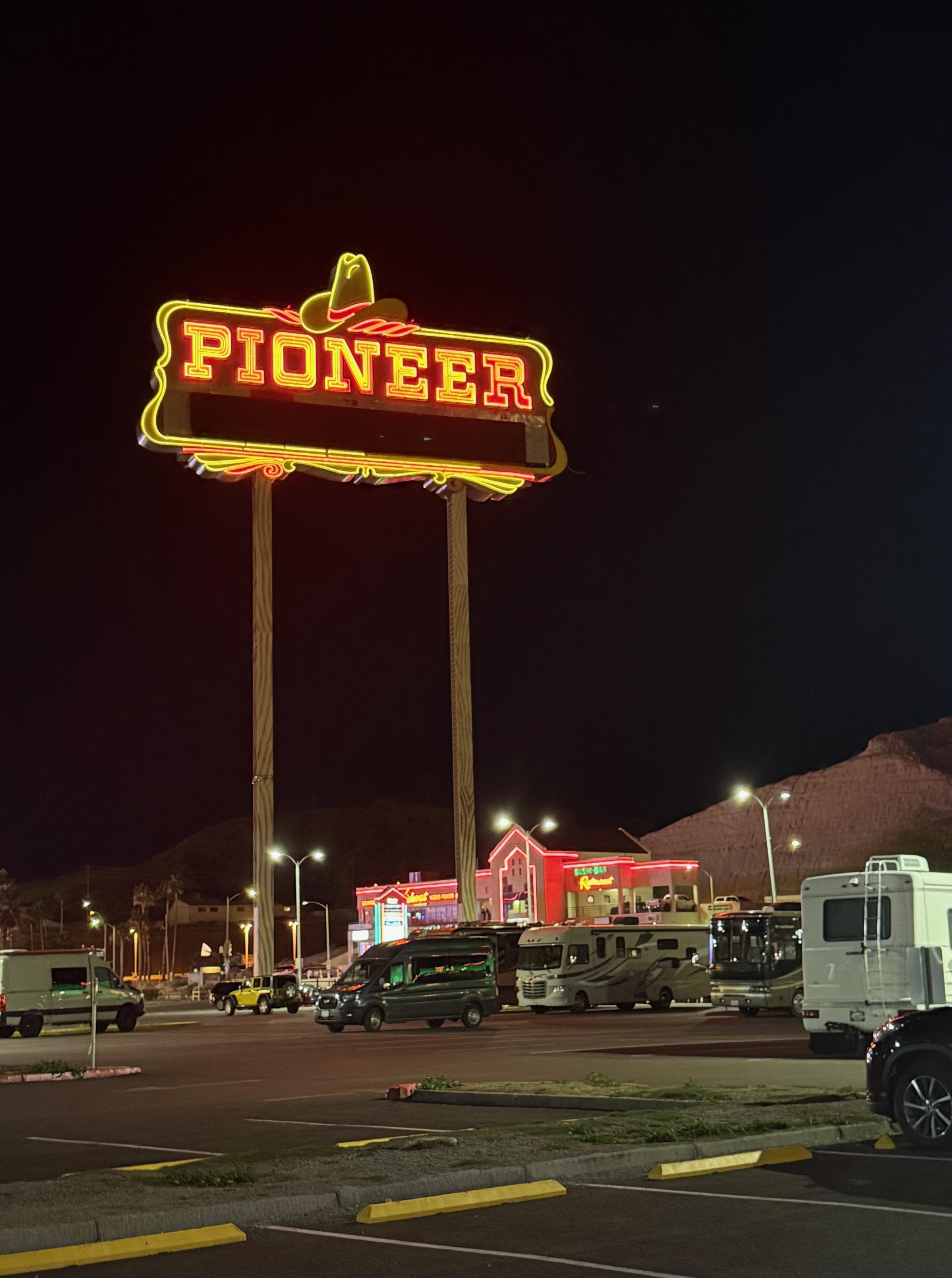
Our for the most part old demographer meet-up, otherwise known as Valley Quest, was held in Laughlin this year. There were no trips over to Death Valley or Stovepipe in order to pay homage to our past, although at the end of our gathering there was rumbling about returning to our roots. Laughlin is cool. It’s a Las Vegas wanna-be with ten or so good size casinos strung out a walkable/easy drivable strip. It’s a mix of old construction with newer gambling dens scattered about. The best part of Laughlin is its location on the Colorado River and its close proximity to petroglyphs at Grapevine Canyon some of the towns strung along Route 66, once considered the “Mother Road” of the U.S. We stayed at the Pioneer Casino and Hotel in Laughlin. Our rooms faced the river.
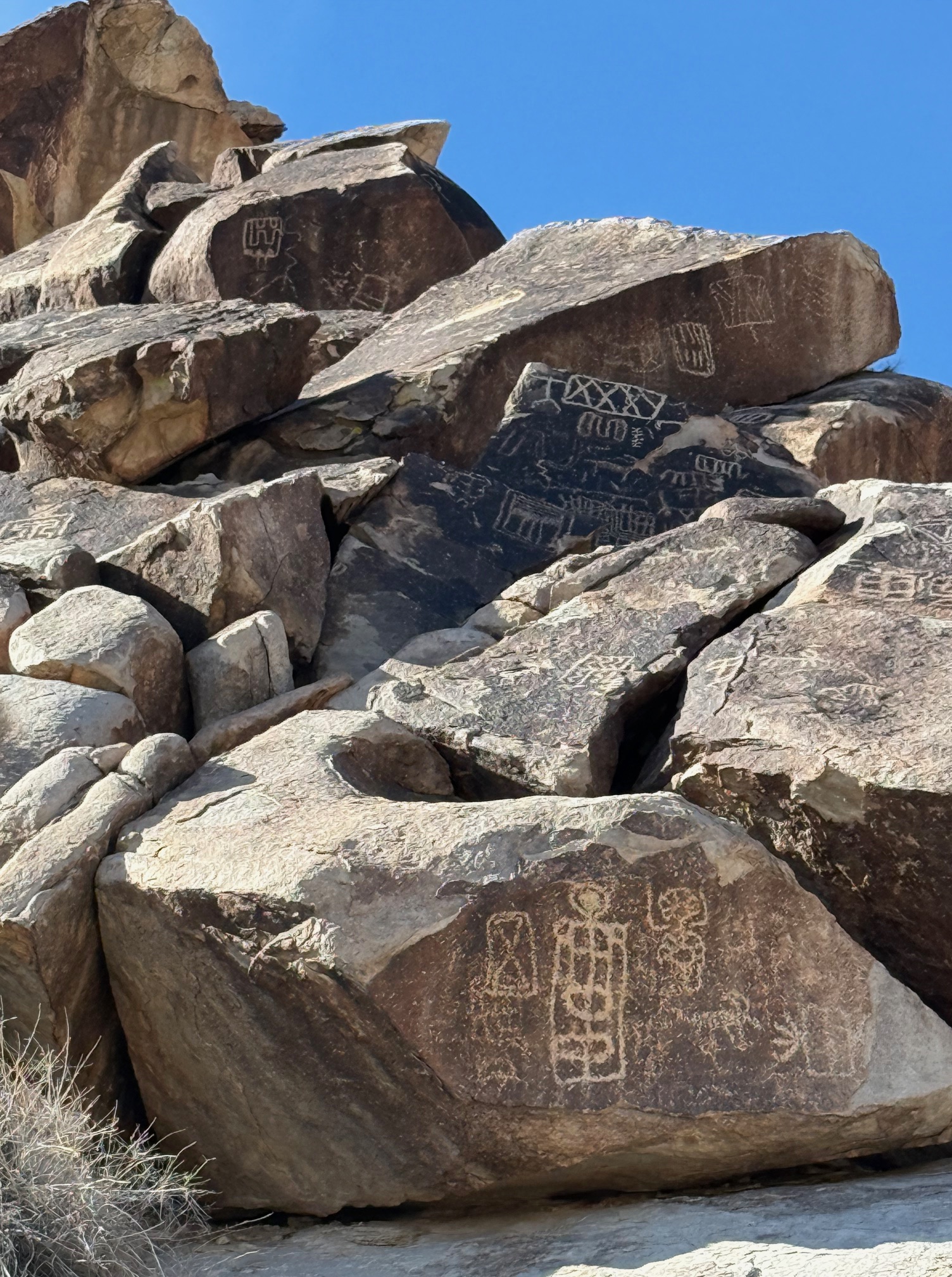
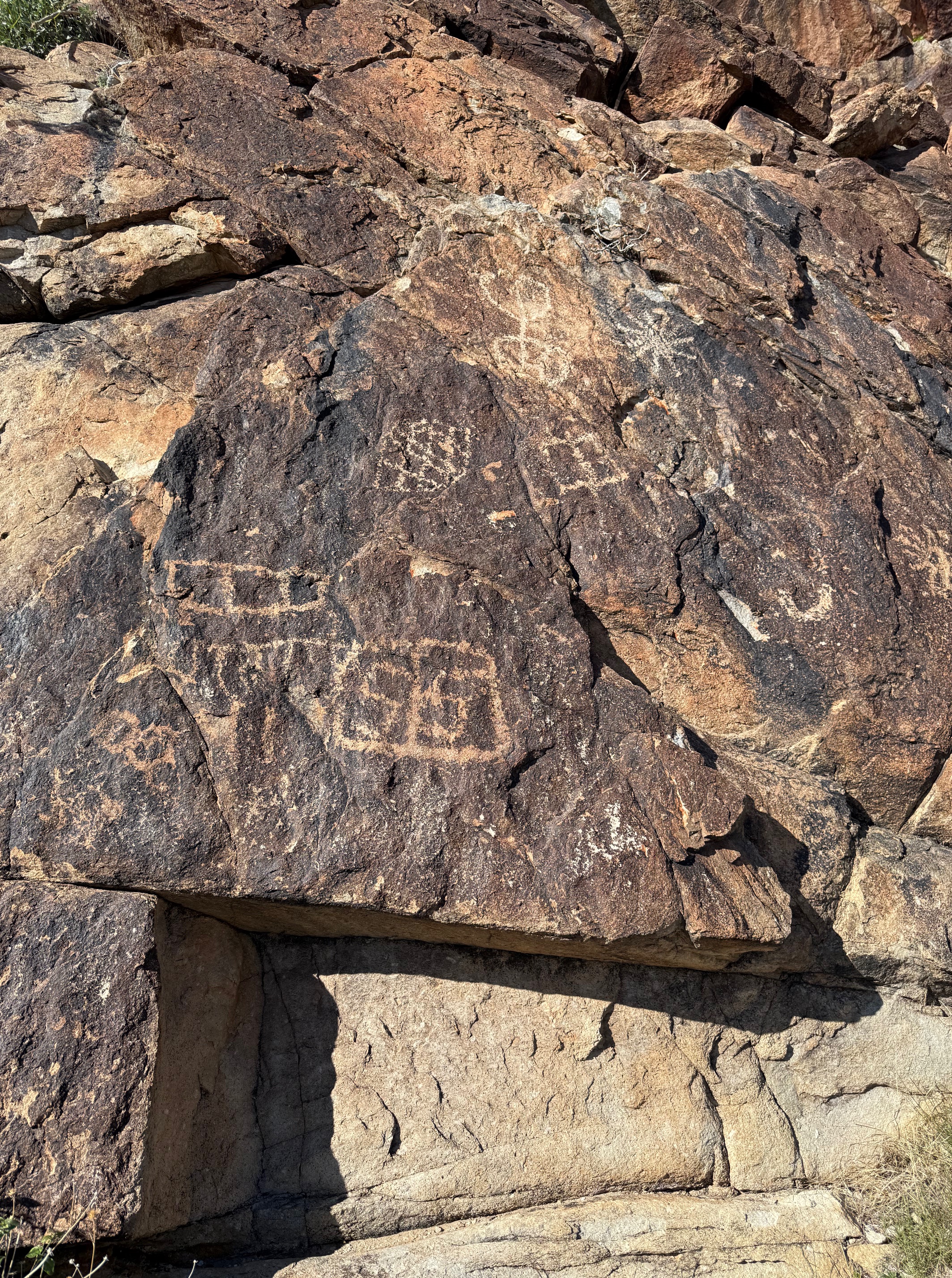
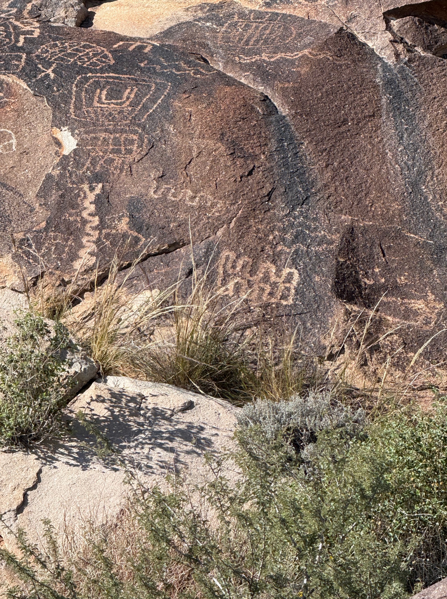
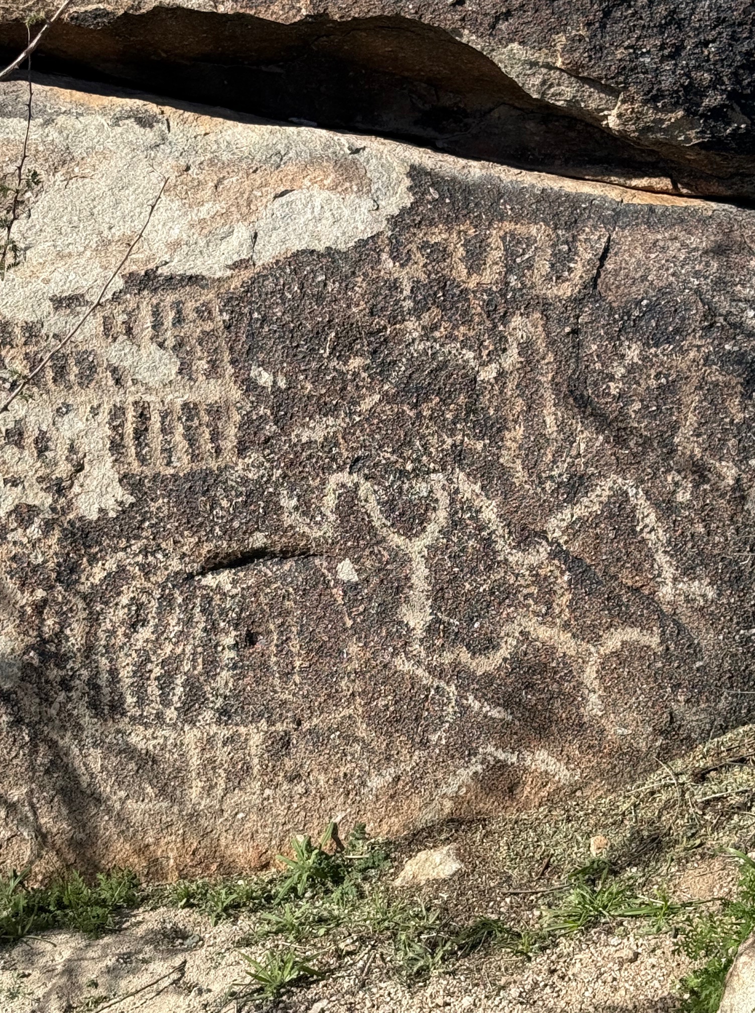
The glyphs are estimated to have been created between 1100 and 1900 AD, pretty recent in the world of petroglyphs. The artwork is a very short hike along the canyon from the parking lot and much of the observing and photography is at almost ground level. There wasn’t a great deal of human traffic the day we visited (January 21) and the asshat behavior on the part of fellow visitors was minimal.
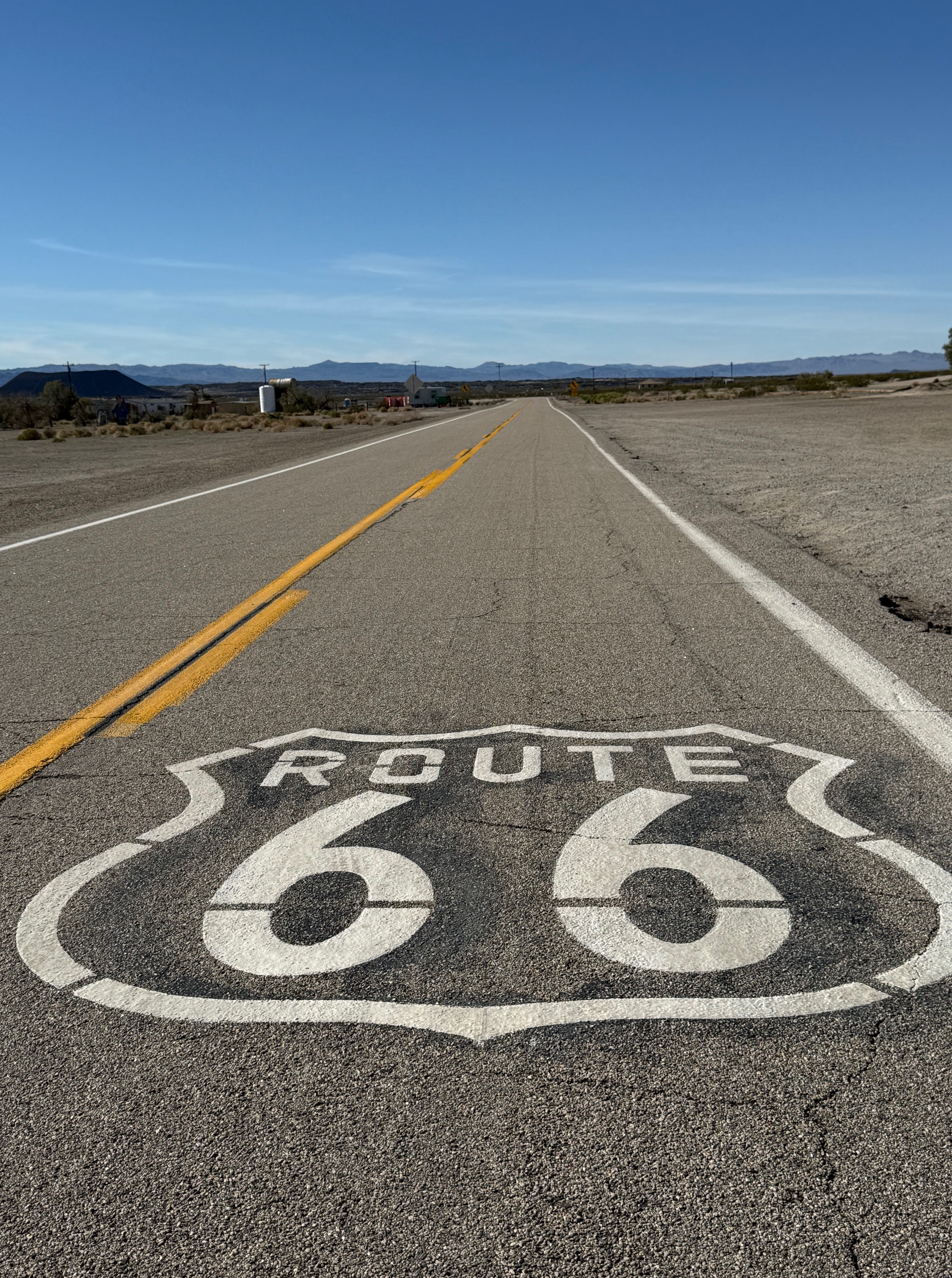
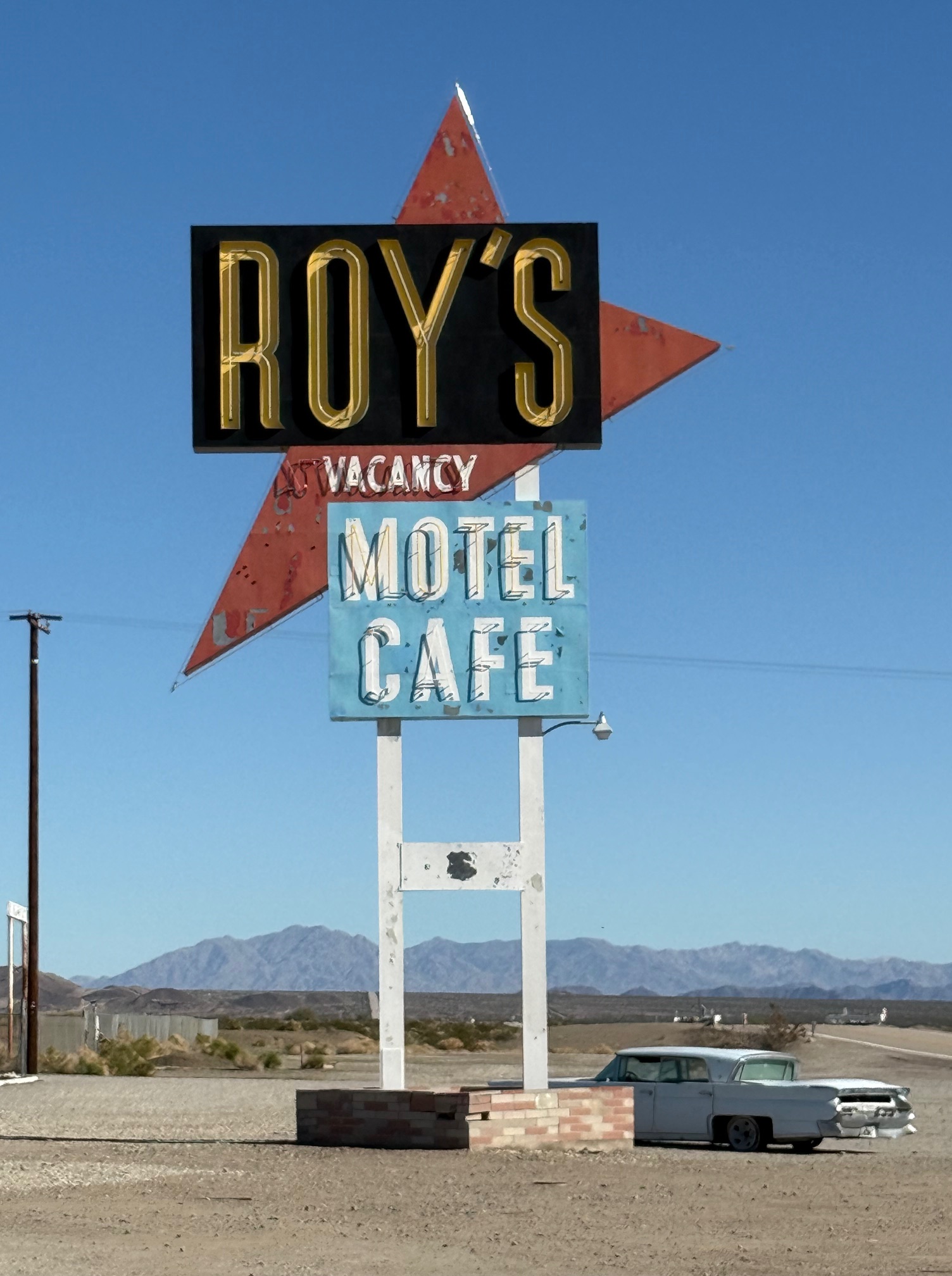
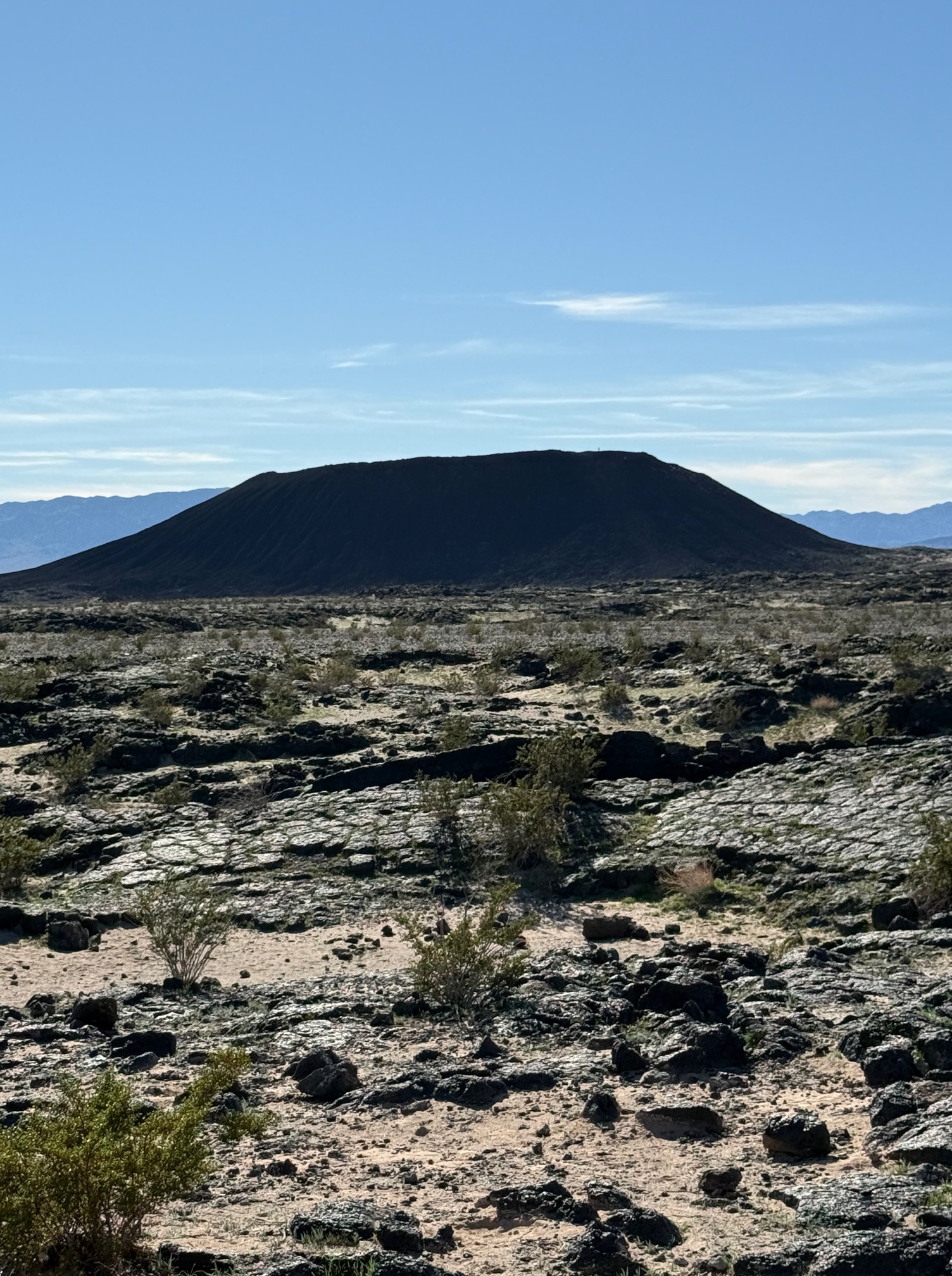
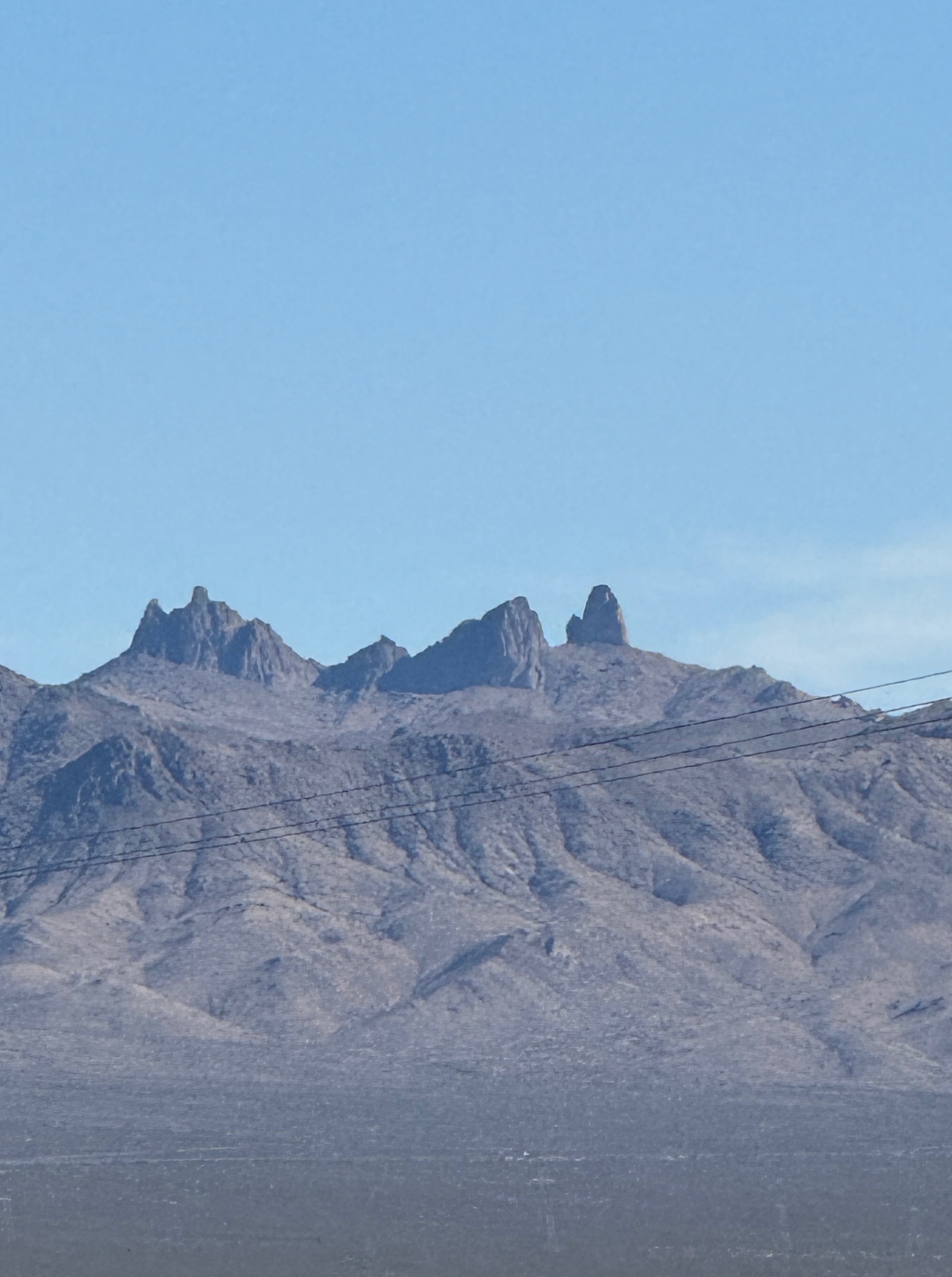
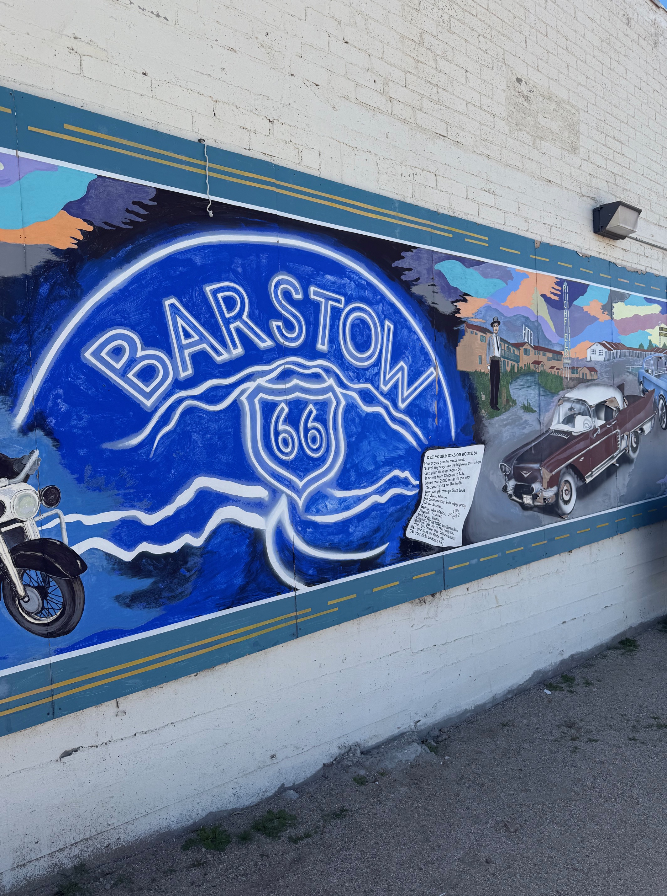
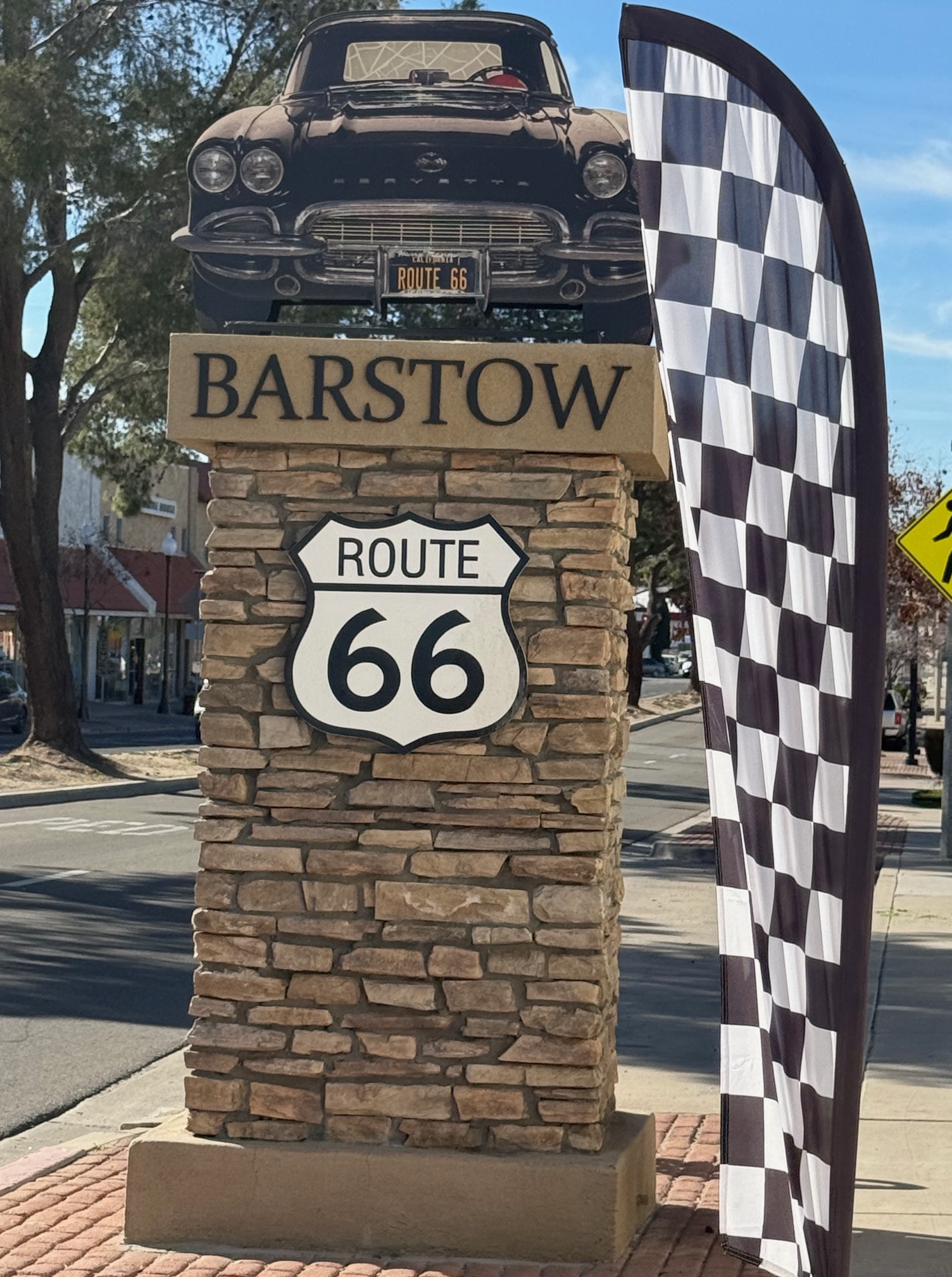
The scenery and history of the areas south and west of Las Vegas are breathtaking and interesting. The extinct volcano at Amboy (on Route 66) is worth the visit, although watch your step traversing the debris field—I fell. The signage celebrating the old highway is a mix of nostalgia and neglect, but I will go again. These towns never stood a chance, for the most part, once the interstate highway system was in place. Route 66 was replaced by I-57, I-55, I-40, and I-10, and by the mid-1980s had been decommissioned. My goal is to visit all the towns/cities named in the song Route 66. I’ve several more to go. “It winds from Chicago to LA, more than 2,000 miles all the way, get your kicks on Route 66.”