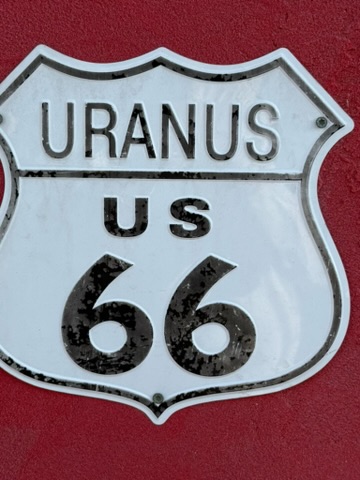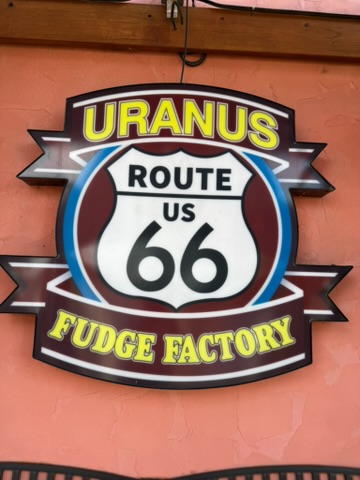
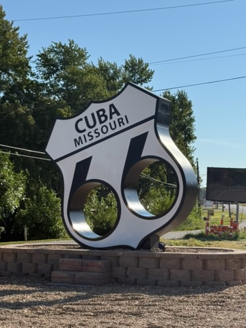
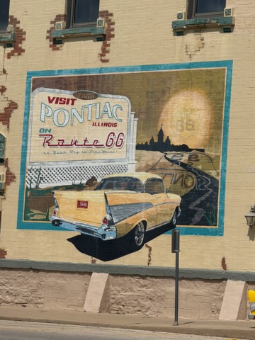
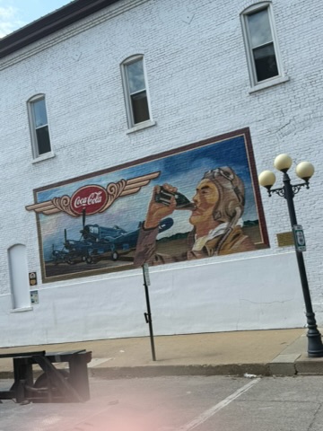
The cities and towns along Route 66 have jumped in to the 100 year celebration. Along the way, banners, sculptures, and murals mark both the general history of each place along with the connection to the Mother Road.
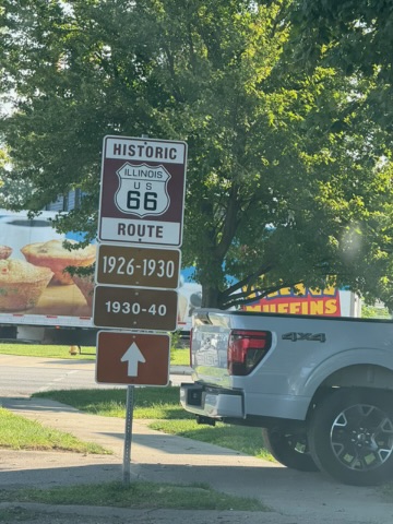
We were surprised to learn that over the years the Route 66 designation changed because the highways identified were different. During our drive, it was not at all unusual to come to a stretch of road with signage that reported that the section over which we were about to drive had been Route 66 from 1930-1944. We could travel another way and be on Route 66 as designated from 1945-1970. Wow! Also, over time city and town bypasses were added, again changing the roadway designated Route 66. If we travel this way again, we could have an entirely different experience simply by driving an alternate Route 66. Confusing? Yes, but in retrospect it makes sense. Unlike the interstate system, Route 66 was made up of a network of mainly two-lane roads. From 1926 through the end of the official Route 66 designation (mid-1980s) new roads were built and some highways destroyed, thus the Route 66 network of roadways was altered.
Now and then we are surprised by something we see while driving down the road. Recall my post a few years ago on Toilet Henge which can be found in Craig Missouri. Not to be outdone by other unusual stuff, some clever fellow, Louie Keen, bought some land along Route 66, created a town (unincorporated, so it’s not an official town) and declared himself mayor. That town, Uranus, is an attention getter. We stopped and took pictures. Janet insisted that she needed to buy some of their fudge. We live in an interesting world.